Using the latest optical scanning hardware and advanced geographics processes, Badley Ashton can duplicate any paper-based well log documents or convert them into electronic files ready for integration with new data.
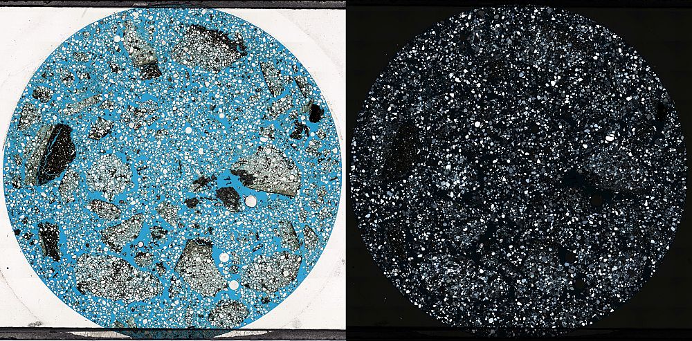
Badley Ashton can take your electronic or hard copy Well log and create digital vector curve data, ready for use in a variety of geomodelling or logging software. This data can include, but is not limited to: grain size profile, hydrocarbon staining, cements or any wireline log curve. Outputs can be tailored to your requirements; Excel, CSV or LAS formats, for example. The data can also be interpreted by our geological staff and integrated into new studies.
Using our advanced ArcGIS suite, Badley Ashton can digitise any map document. Features that can be digitised include Well locations, faults, contours, facies and seismic maps. Output formats can range from the simple such as PDF or TIF, through to Geodatabase or Shape files, depending on your needs.
Please don’t hesitate to contact us with you requirements
Badley Ashton provides a range of non-proprietary technical documents available to purchase. Details of these are below.
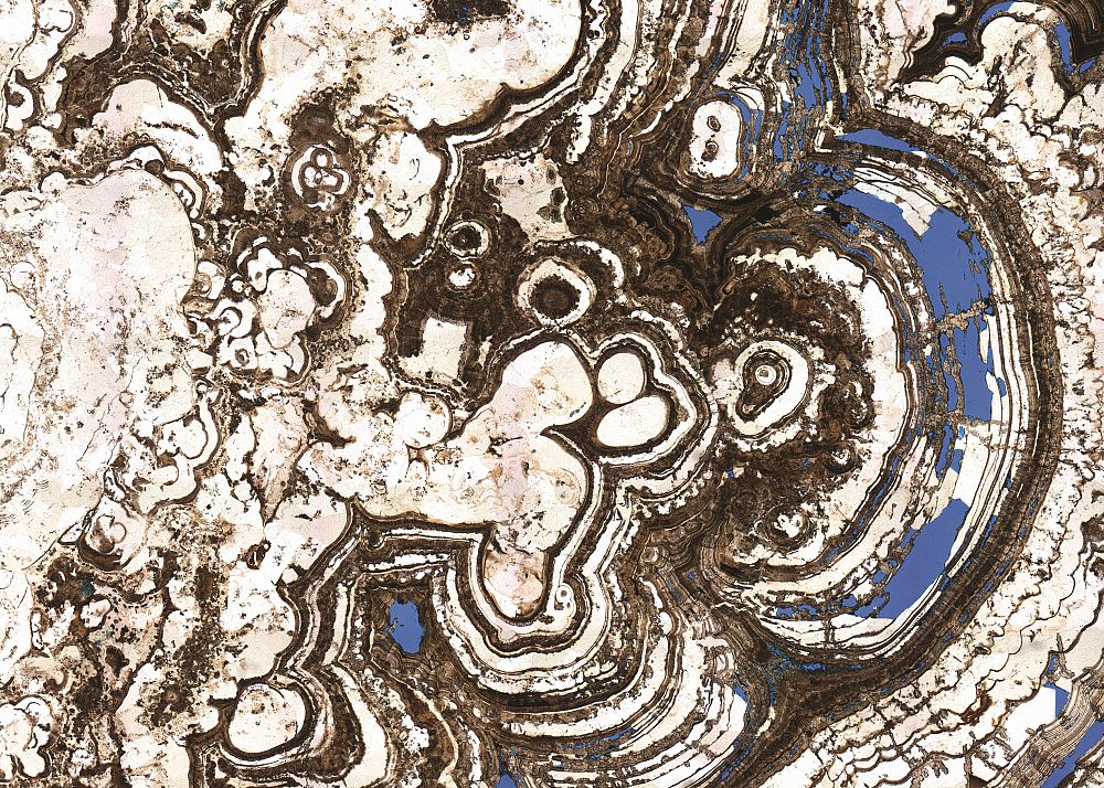
Looking for an old Badley Ashton report, that you can’t find in your company’s archives? Do you need a digital version of something that you only have as a paper copy? With over 30 years of experience working in oil and gas reservoirs across the globe, the Badley Ashton Report Archive is expanding on a daily basis. We are now pleased to offer a service in retrieving either whole reports or individual data packages from our archive, at an agreed, fixed cost. In the strictest confidence we can tailor the service to your needs, be it a re-print of your archived proprietary report, or the provision of a data table, we can help.
Please don’t hesitate to contact us with you requirements